A short climb to a famous view
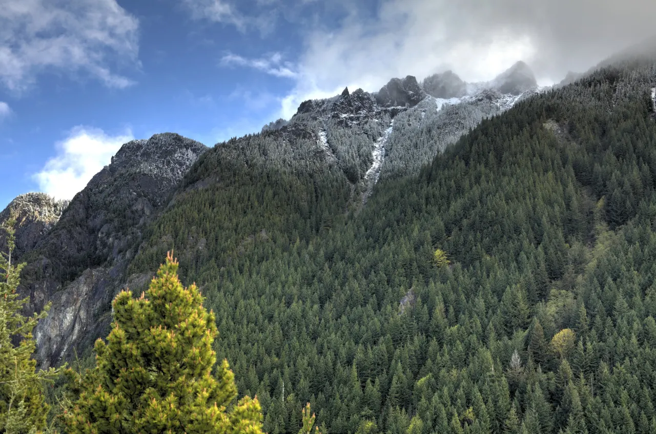
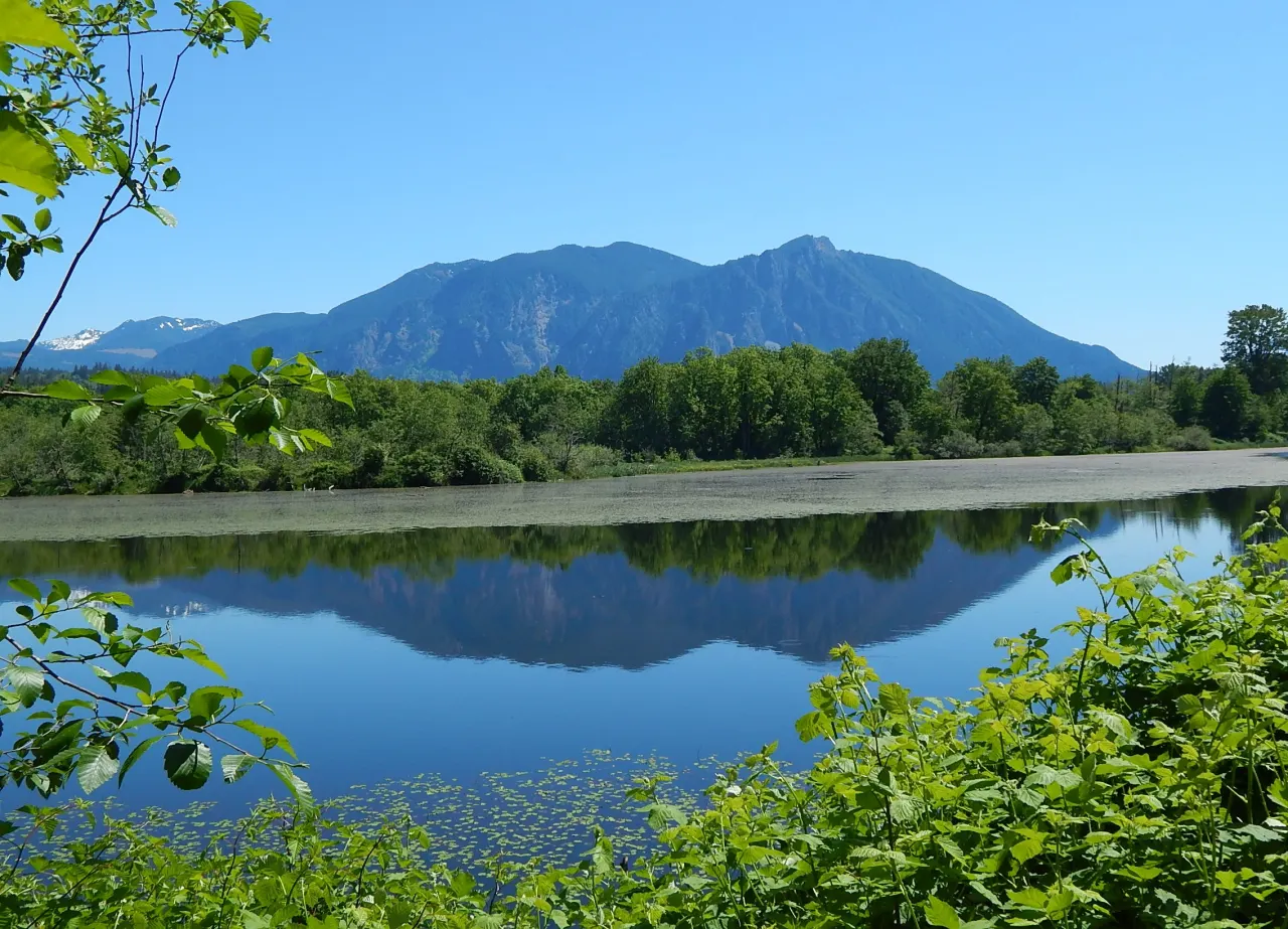
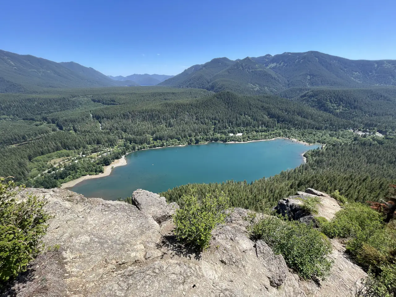
The main ledge sits at about 2,078 feet, more than 1,100 feet above Rattlesnake Lake. From its bare rock you look straight down on the lake and out to Mount Si, the forested Cedar River watershed and the Cascade peaks. Two higher ledges continue up the ridge for hikers who want more distance and fewer people.
The trail, step by step
The trail starts at the north end of Rattlesnake Lake, a short walk from the parking areas, where there are portable toilets and an information kiosk. It climbs steadily on switchbacks through second-growth forest, about 4 miles round trip with roughly 1,160 feet of gain; most people take two to three hours. The path is wide and well kept but uphill all the way, rocky near the top. Bring water, and poles help on the way down.
Rattlesnake Lake and its drowned forest
Rattlesnake Lake fills a valley where the town of Moncton once stood. Around 1915, water seeping from a new reservoir on the Cedar River raised the lake and flooded the town, which was abandoned. Old stumps still stand in the water and on the shore when levels drop, a striking foreground for photographs. The lake is good for a picnic or a cold summer swim, and it is the trailhead for the Snoqualmie Valley Trail and the Palouse to Cascades Trail.
Stay safe on the ledges
The ledges are sheer cliffs with no railings, and people have fallen from them. Keep children close and dogs leashed, stay back from the edge, and do not scramble onto lower outcrops. To get there, take I-90 exit 32 and drive south on 436th Avenue SE, which becomes Cedar Falls Road, for about 4 miles. Lots fill early on weekends; go on a weekday or start by 8 a.m. More options are in our hiking guide.
Frequently asked questions
How hard is the Rattlesnake Ledge hike?
Moderate: about 4 miles round trip with roughly 1,160 feet of steady climbing. Most people take two to three hours.
Is Rattlesnake Ledge dangerous?
The ledges are cliffs with no railings, and people have fallen. Stay well back from the edge and keep children and dogs close.
Why are there stumps in Rattlesnake Lake?
The lake rose around 1915 and flooded the town of Moncton. The stumps are the remains of the old forest.