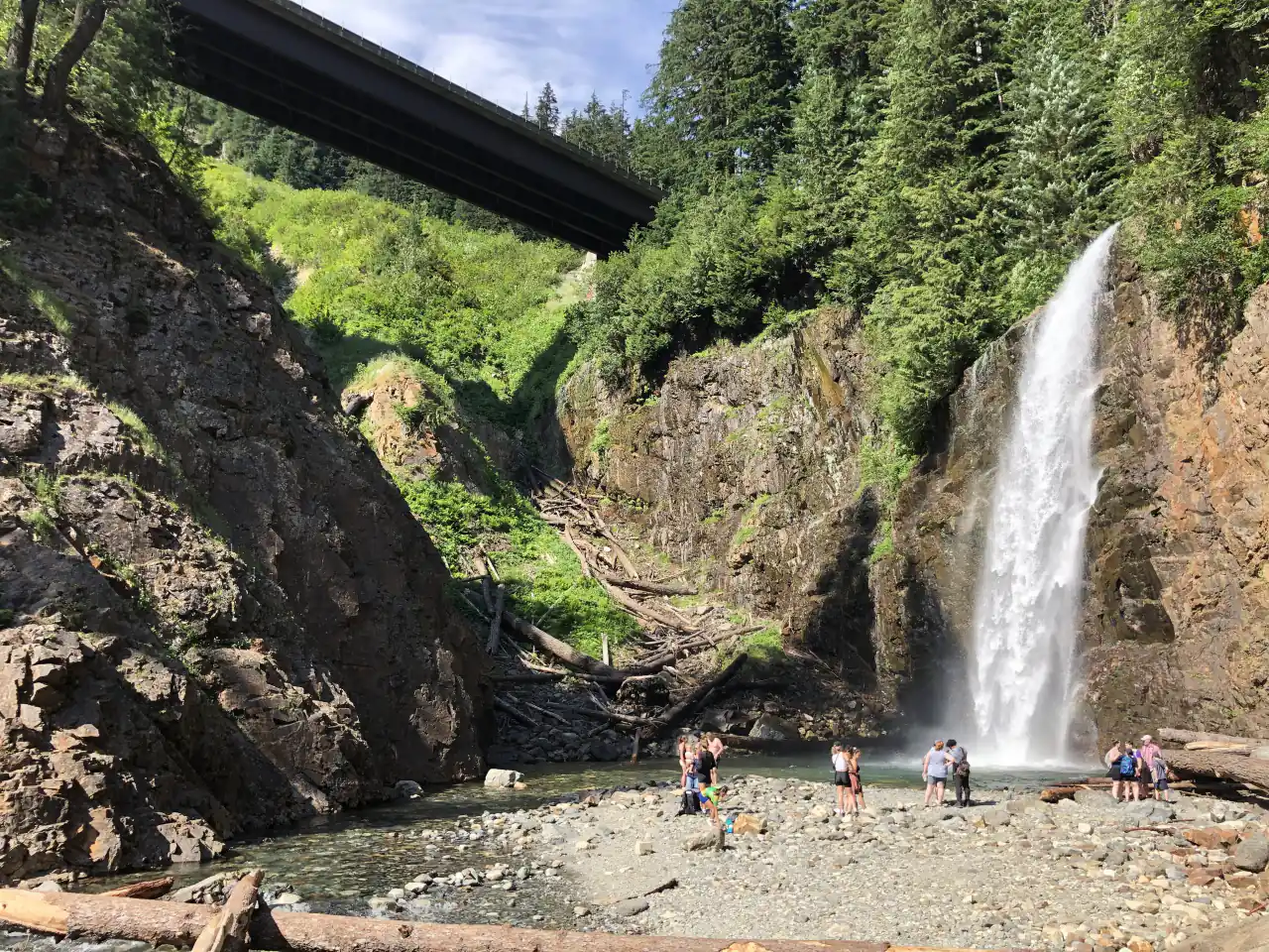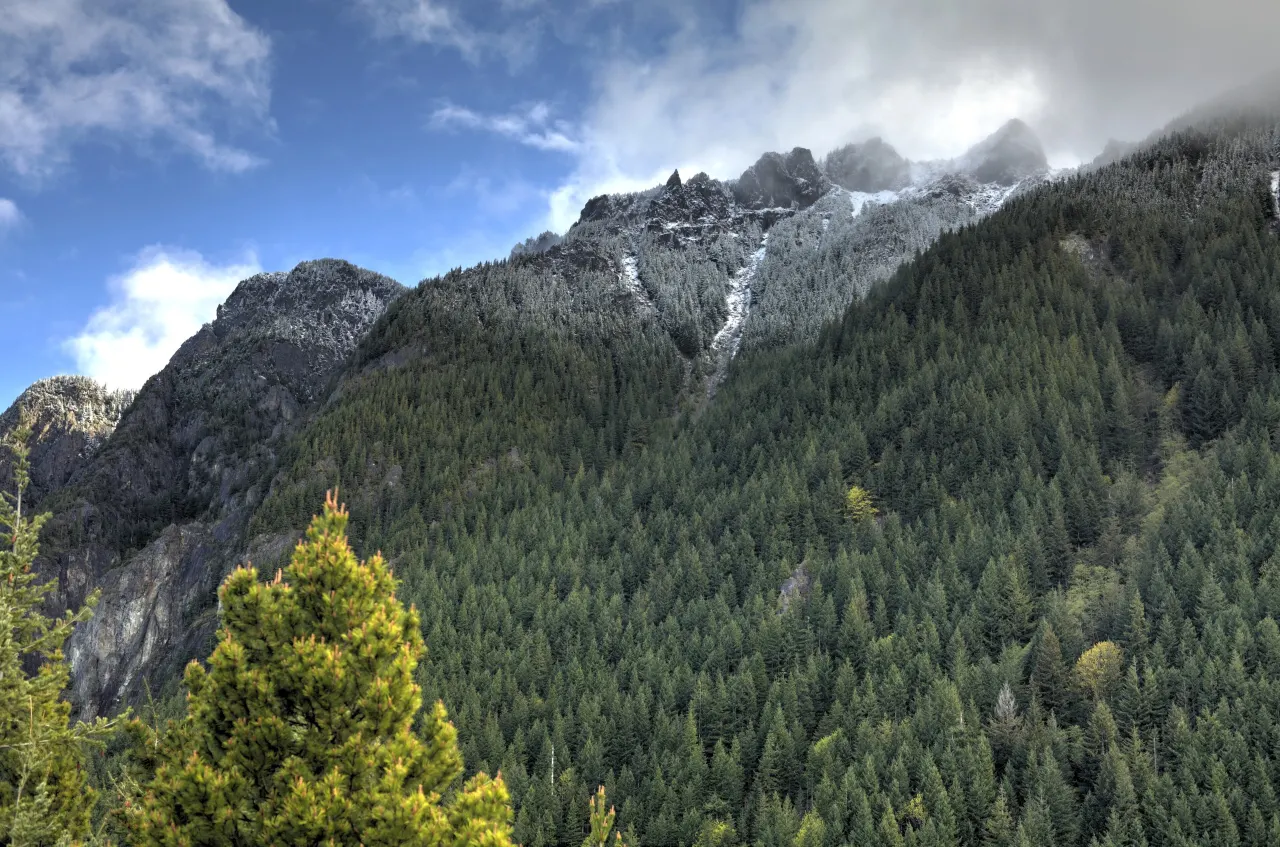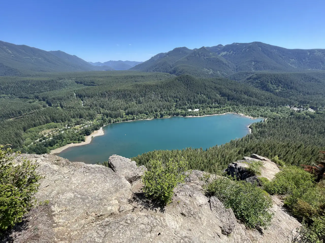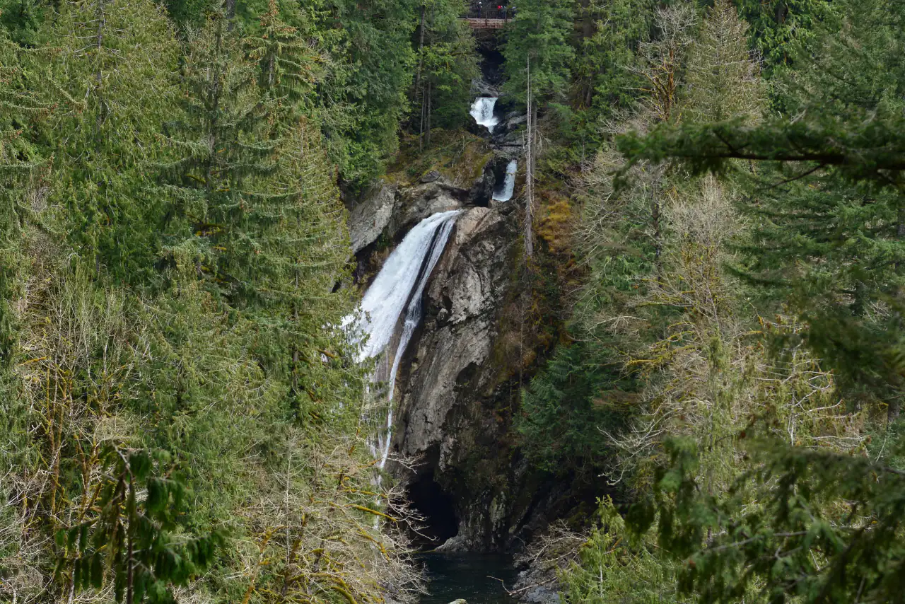
A 135-foot waterfall on the South Fork
The South Fork Snoqualmie River drops through a narrow canyon here in a series of falls. The upper falls, about 45 feet, is hidden from the trail; a two-tiered middle falls drops about 30 feet; and the lower falls, the one in the photographs, plunges about 135 feet into a green pool. Olallie State Park also protects 77-foot Weeks Falls on the same river.
The hike to the viewpoints
From the Lower Twin Falls trailhead the path follows the river through mossy forest of big cedars, then climbs on switchbacks. At about three-quarters of a mile you get the first view of the lower falls from a ridge, and at about a mile a short spur leads down steps to a viewing platform facing them. The trail continues up to a footbridge across the canyon between the falls. Most people turn around there: about 2.5 to 3 miles round trip with roughly 500 feet of gain.
Passes, parking and safety
Take I-90 exit 34, turn onto 468th Avenue SE, then left on SE 159th Street to the lot at the end of the road. Washington State Parks requires a Discover Pass to park. The lot fills on sunny weekends, so arrive early. The viewing platform and bridge sit above steep, slippery drops; stay behind railings and keep dogs on leash.
Pair it with Snoqualmie Falls
Twin Falls makes an easy second stop after Snoqualmie Falls: see the big falls early, hike Twin Falls before lunch, then eat in North Bend, where Twede’s Cafe serves the Twin Peaks cherry pie. Our waterfall day adds Franklin Falls near Snoqualmie Pass, and the hiking guide lists more trails nearby.
Frequently asked questions
How long is the Twin Falls hike?
About 2.5 to 3 miles round trip with roughly 500 feet of gain, depending on whether you continue to the bridge above the falls.
Do you need a pass for Twin Falls?
Yes. Parking at the Olallie State Park trailhead requires a Discover Pass.
How far is Twin Falls from Snoqualmie Falls?
About 20 minutes by car, east on I-90 to exit 34.