Snoqualmie Falls Park has two levels joined by a short, steep trail. This map shows the viewpoints, lots, trail and lodge so you can decide where to park and walk.
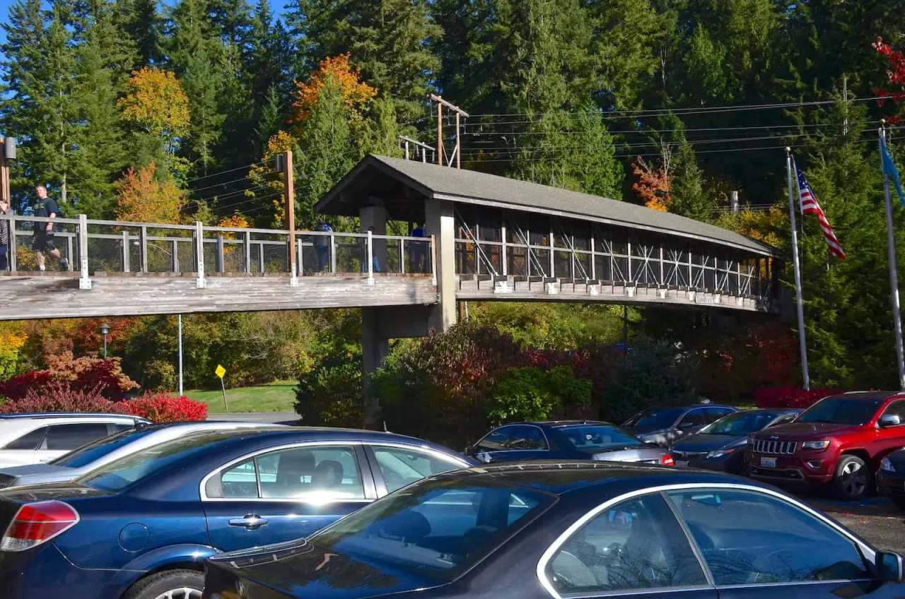
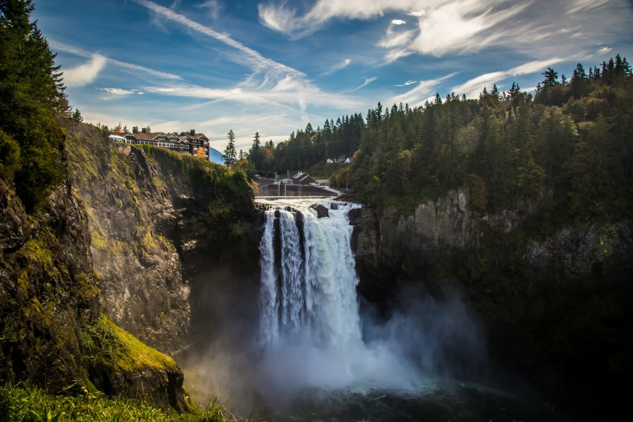
Everything most visitors need is in the upper park on the north rim: the gift shop and visitor center, restrooms, picnic tables, the main observation deck and a string of overlooks. Salish Lodge stands a few minutes’ walk south, at the top of the falls. The free main lot is across SR 202 by footbridge, and the paid lot is beside the gift shop.
The trail and the lower park
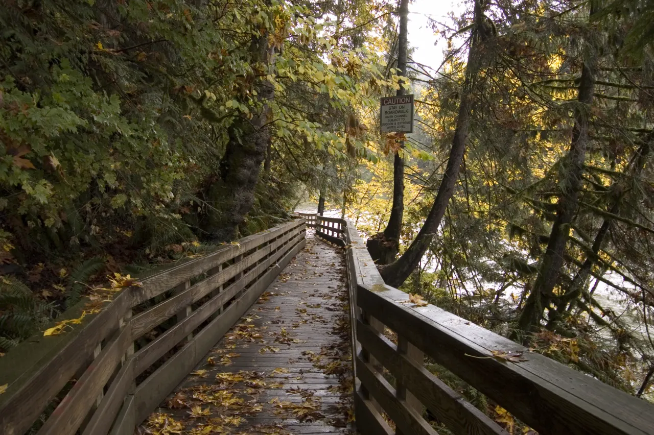
The trail leaves from behind the gift shop and switchbacks northwest down the slope to the riverbank by Plant 2. A boardwalk then runs back upstream to the lower viewpoint near the base of the falls. The lower park also has a small parking lot, restrooms, a kayak and canoe launch and historic displays.
Driving between the two
The upper and lower lots are about 2.3 miles apart by road. From the upper park, drive SR 202 toward Fall City rather than under the footbridge, turn left on 372nd Avenue SE, then left on SE Fish Hatchery Road. See parking for fees and capacity.
Parking at Snoqualmie Falls is free if you use the large lot across the highway. A small paid lot sits next to the falls, and a separate lot serves the lower park.
The Snoqualmie Falls trail drops about 250 feet from the upper park to the river, then follows a boardwalk to a viewpoint near the base of the falls. It is about 1.4 miles round trip, short but steep.
The upper park is where nearly everyone sees Snoqualmie Falls first: a short, paved walk from the parking lots to railed viewpoints that look across the gorge at the full 268-foot drop.