Driving from Seattle
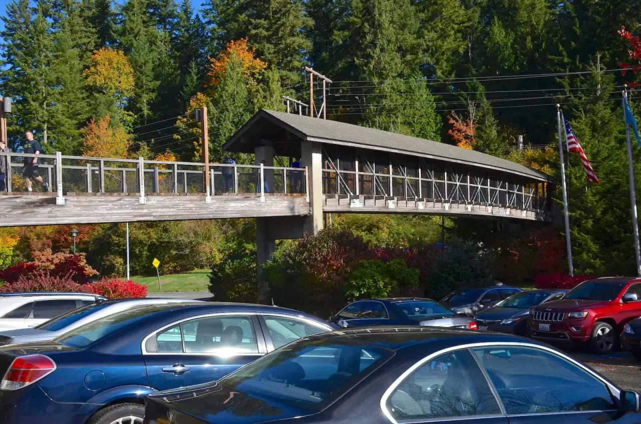
Take I-90 east across Lake Washington to exit 25, signed for SR 18 and Snoqualmie Parkway. Turn left, continue straight onto Snoqualmie Parkway for about 3.6 miles to its end, then turn left onto Railroad Avenue SE (SR 202). The falls are about half a mile on: just past the footbridge over the road, the large free lot is on the right and the small paid lot on the left. Use 6501 Railroad Ave SE, Snoqualmie, in your map app.
From the east and from Fall City
From Snoqualmie Pass or Eastern Washington, leave I-90 at exit 31 for North Bend and follow SR 202 west through North Bend and downtown Snoqualmie to the falls, about 5 miles. From Redmond or Fall City, follow SR 202 east up the valley; the falls are about 4 miles past Fall City. The lower lot is reached from the Fall City side.
By bus
No bus runs directly from Seattle to the falls. King County Metro’s Route 215, which replaced Route 208 on August 29, 2026, links Mercer Island, Eastgate and Issaquah Highlands with Snoqualmie and North Bend; from Seattle, connect at Mercer Island. Use Metro’s trip planner to find the stop nearest the falls, the walk from it and weekend times. Snoqualmie Valley Transportation runs a Valley Shuttle between the valley towns (425-888-7001).
Tours and rideshare
Several Seattle tour companies run half-day and full-day trips to the falls, sometimes combined with other stops in the valley. Rideshare drivers will bring you out from Seattle, but finding a return ride at the falls can be slow and expensive, so arrange it in advance. If you drive, read our parking guide first, and for a full plan see the day trip from Seattle.
Frequently asked questions
How far is Snoqualmie Falls from Seattle?
About 30 miles east, usually 35 to 45 minutes by car via I-90 exit 25.
Can you take a bus to Snoqualmie Falls?
No bus runs directly from Seattle. King County Metro Route 215 serves Snoqualmie from Mercer Island and Issaquah Highlands; check Metro’s trip planner for the nearest stop.