From the upper park to the river
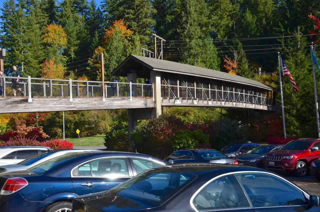
The trail starts behind the gift shop and visitor center: follow the walkway to the map kiosk, then cross the access road to the wide gravel path. It switchbacks down through forest of Douglas fir, western red cedar and bigleaf maple, past old cedar stumps and interpretive signs, dropping about 250 feet in less than half a mile. Most people reach the bottom in about 15 minutes. Restrooms are at the top and near the bottom.
The boardwalk and the lower viewpoint
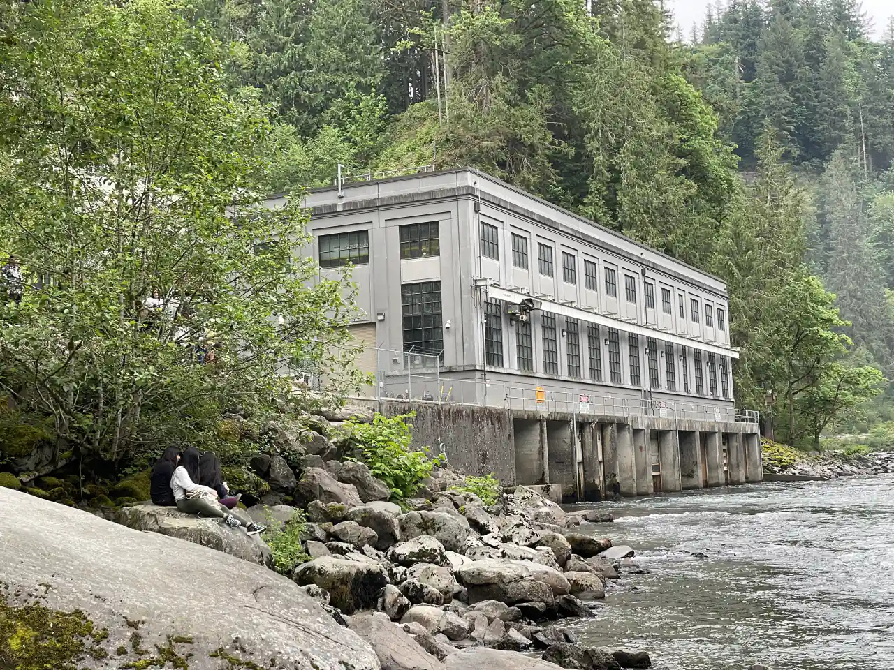
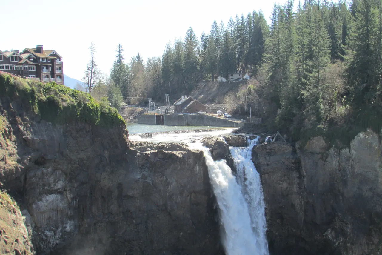
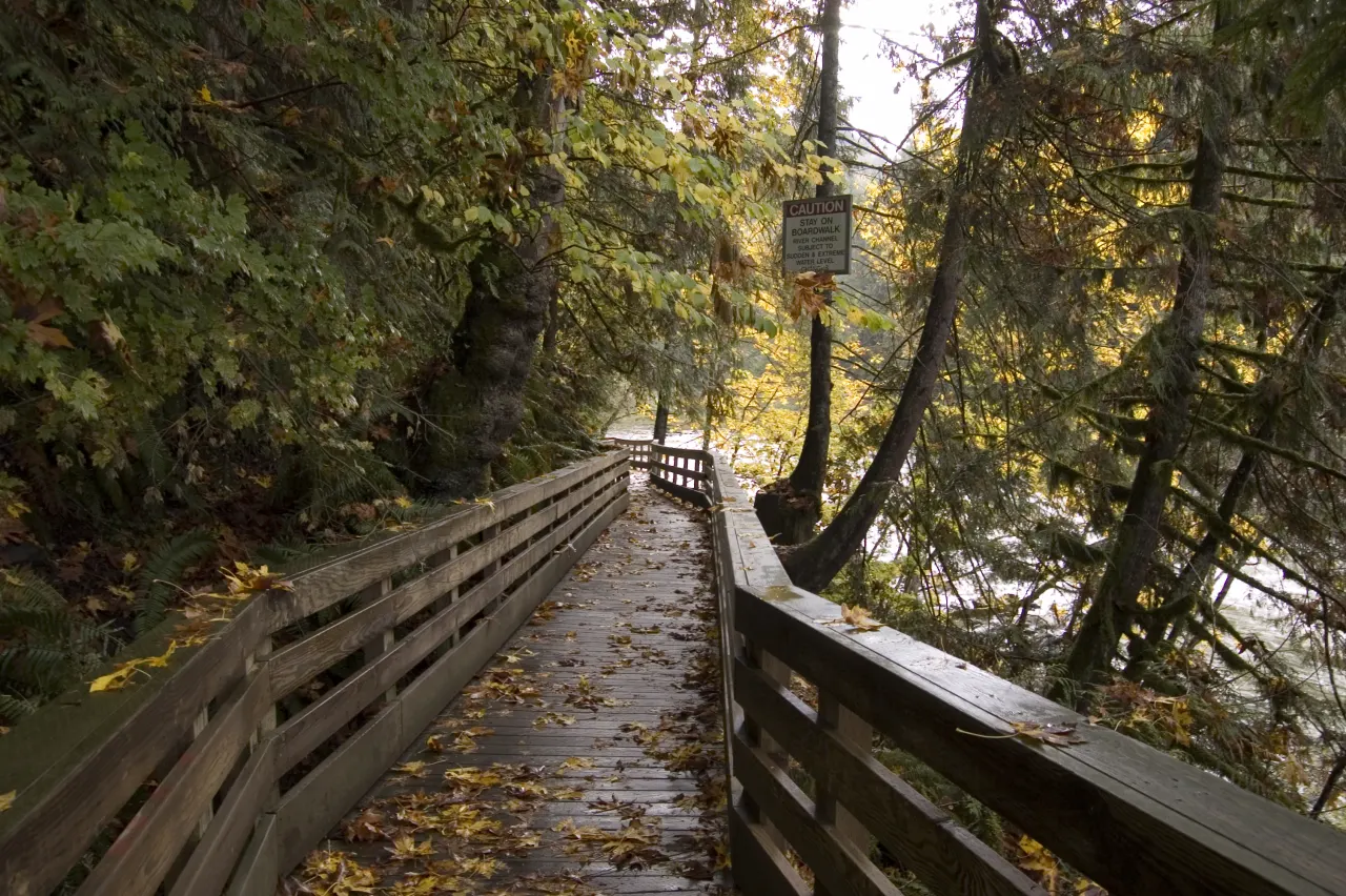
At the bottom the trail passes the lower parking lot and the 1910 Plant 2 powerhouse, then joins a boardwalk along the river for the last, flat 0.3 mile. The boardwalk ends at the lower viewpoint, a platform looking up at the falls from the riverbank. In high water expect heavy spray. The end of the boardwalk is the end of the trail: do not climb over railings or gates onto the rocks, which are slick, and the river level can change without warning.
The climb back up
Coming back is the hard part: the same 250 feet, all uphill, with one steep stretch. The falls’ own visitor site compares it to climbing a 30-story building. Take it slowly and allow 20 to 30 minutes. The trail is not wheelchair accessible, and it can be muddy in the rainy season. Leashed dogs are welcome.
Driving to the lower lot instead
If the climb is too much, drive down instead. The lower park has its own small lot, with about 41 car spaces and three bus stalls, reached from SR 202 by 372nd Avenue SE and SE Fish Hatchery Road; the City of Snoqualmie lists a $7 fee. From there it is a short, flat walk along the boardwalk to the lower viewpoint. See parking for every lot and the map for how the two levels connect.
What to bring
Shoes with grip, since the gravel can be wet and the boardwalk slick with spray. Bring a rain layer in any season, water for the climb back, and a lens cloth if you plan to take photos at the bottom. There is no food at the lower park; the gift shop and Salish Lodge are at the top.
Frequently asked questions
How long is the hike to the bottom of Snoqualmie Falls?
About 1.4 miles round trip with roughly 250 feet of elevation change. Most people reach the bottom in about 15 minutes.
Is the Snoqualmie Falls trail hard?
The way down is easy; the climb back is steep. The falls’ visitor site compares it to climbing a 30-story building.
Can you drive to the bottom of Snoqualmie Falls?
Yes. The lower lot on SE Fish Hatchery Road has about 41 spaces, and a short, flat boardwalk leads to the lower viewpoint.
Can you swim at the bottom of Snoqualmie Falls?
No. The trail ends at the boardwalk. Do not climb over railings onto the rocks, which are slick, or into the river, which can rise without warning.